You can see the effects of climate change from Google Earth
“Visual evidence can cut to the core of the debate in a way that words cannot and communicate complex issues to everyone"
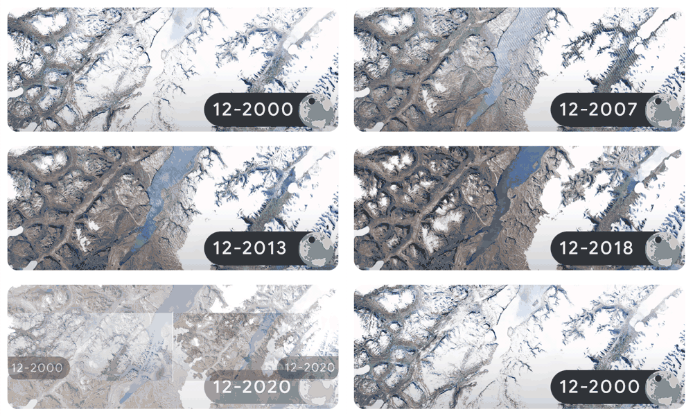
For Earth Day last Friday, Google turned its Google Doodle into a time-lapse showing the effects of climate change around the world.
Using images taken each December between 2000 and 2020, Google showed glacier retreat in Greenland (above), as well as coral bleaching on the Great Barrier Reef and the destruction of a German forest from bark beetle infestations due to rising temperatures and drought.
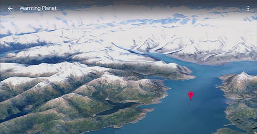
The search giant offered even more on Google Earth, including 3-D time-lapse of glacier retreat at the Columbia Glacier in Prince William Sound, Alaska.
Last year, Google released Timelapse, a feature that shows how the planet has changed over 37 years based on 24 million photos in Google Earth.
“Visual evidence can cut to the core of the debate in a way that words cannot and communicate complex issues to everyone,” Google said at the time.
Google’s 2022 Earth Day project was done in collaboration with NASA and European Space Agency programs as well as Climate Central, a climate change nonprofit that uses visuals to show the effects of climate change. Last year the group put out sliders that show before-and-after images of landmarks like Independence Hall and the Statue of Liberty under water if worst-case scenarios come to pass.
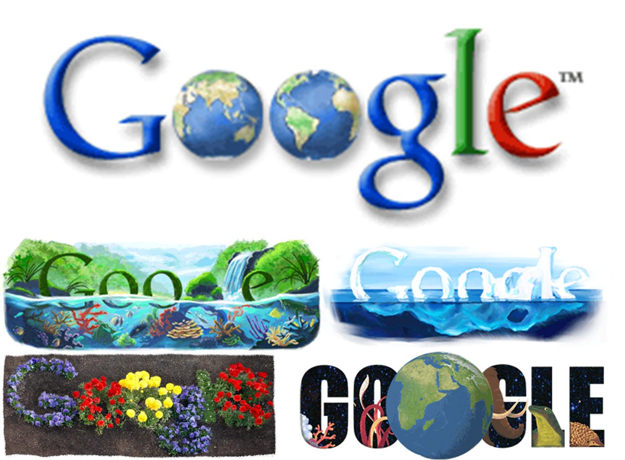
Just for fun, here are some Google Doodles from Earth Days past:
Google used globes in place of the letter O for its first Earth Day Google Doodle in 2001, and they’ve since put out an Earth Day Google Doodle for 18 of the past 21 years. 🌏🌎


